AI-powered groundwater detection and borewell finder trusted by farmers, real-estate developers and industries on every continent. Pick any spot on Earth and see the best drilling location using satellite imagery, geology and AI — free, with voice guidance in 33 languages.
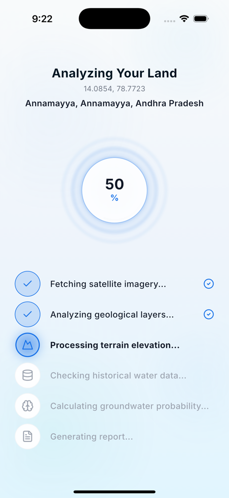
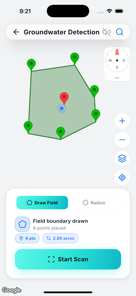
Use the arrows or swipe to glide through every screen — scan, analyse, report and more.
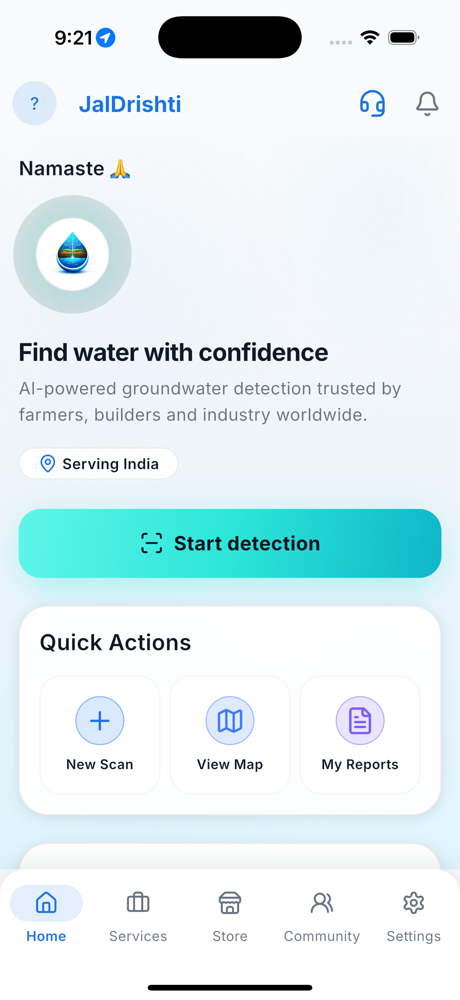
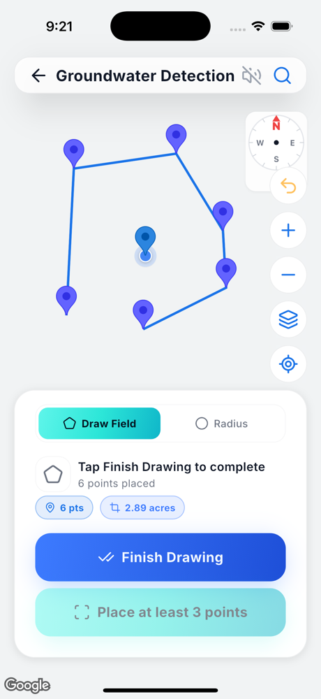
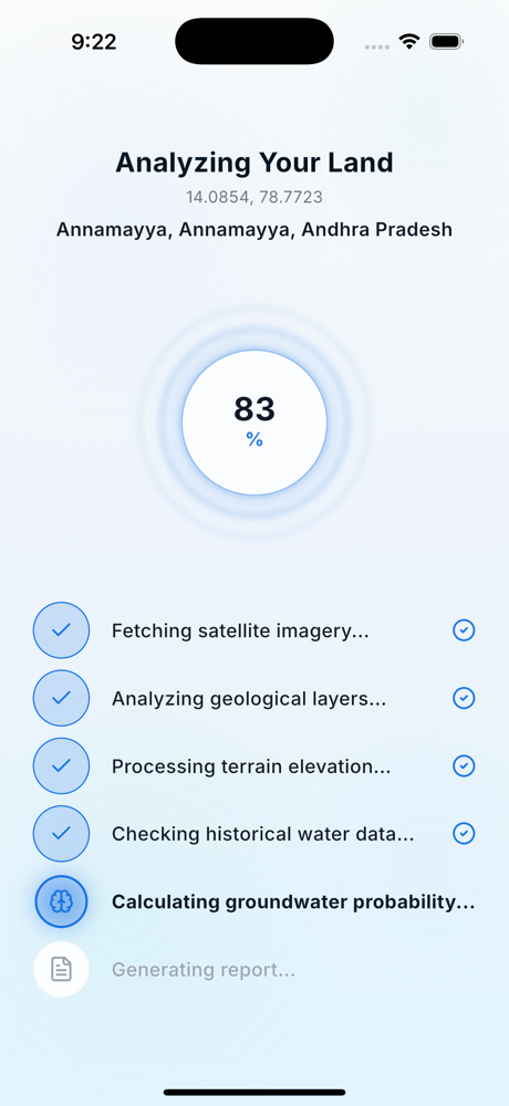
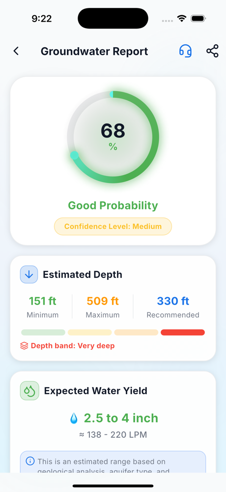
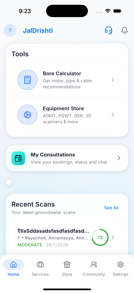
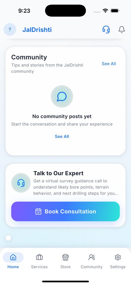
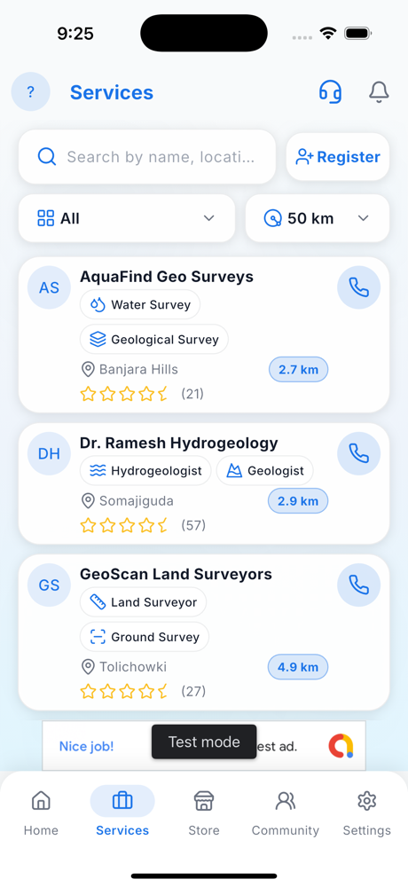
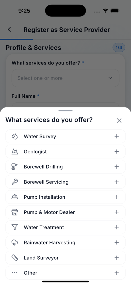
From finding water to drilling it right — a complete, free toolkit for landowners, farmers, builders and industry.
Tap any spot and get a groundwater probability score from satellite, geology & terrain.
Estimated drilling depth band, expected yield and water-quality indication.
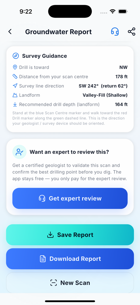
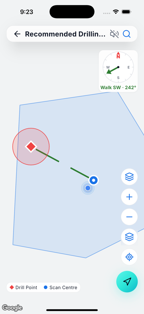
An optimised drilling point and the survey line direction to follow.
Satellite/terrain water map with probability heatmaps and scan points.
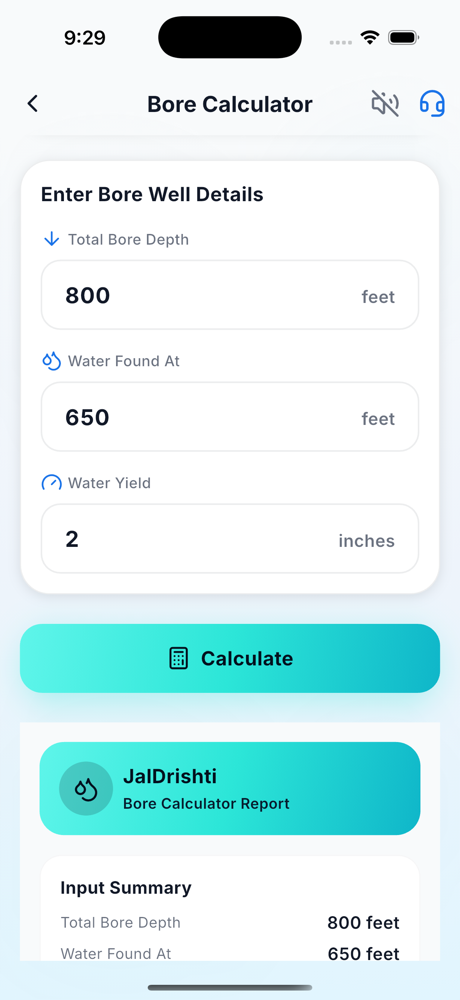
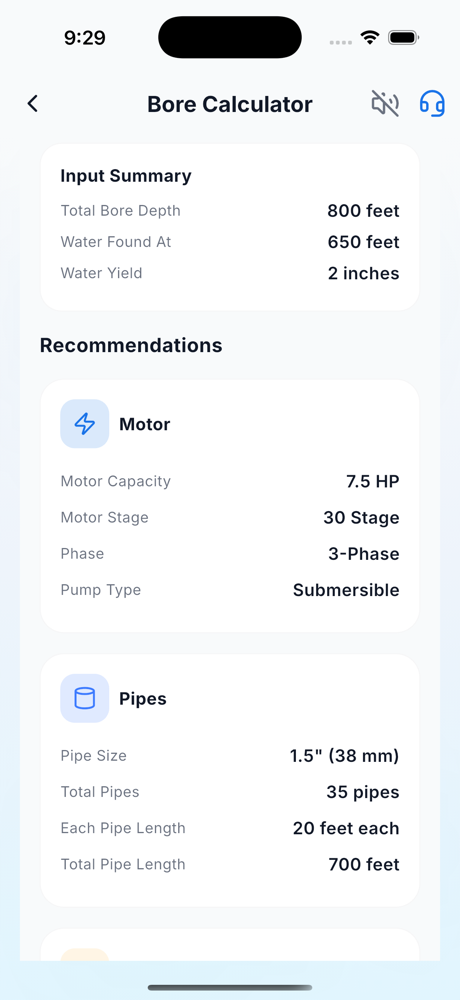
Motor, pipe, cable & starter recommendations from your bore details.
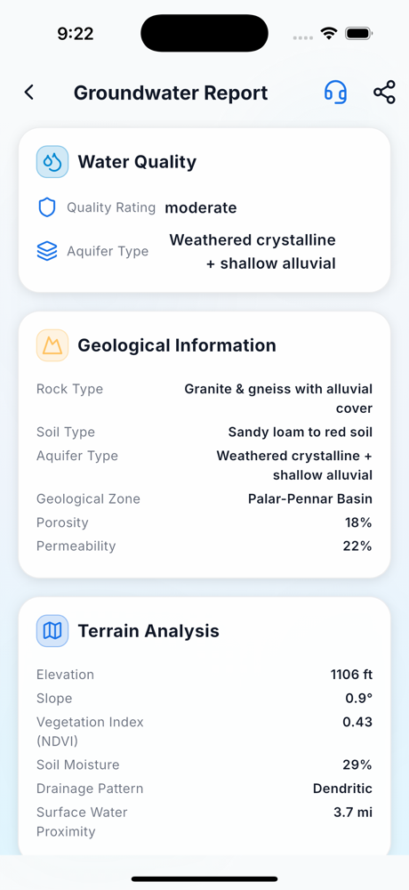
Detailed reports with maps — share as PDF or image with your driller.
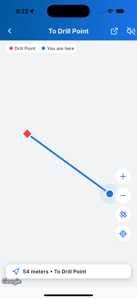
Spoken step-by-step guidance while you scan and read reports.
Find surveyors, drillers & sellers nearby — or list your business free.
Search a place, tap the map, draw your field or use GPS. The AI analyses satellite imagery, terrain and geology instantly — no equipment, no waiting.
Get a probability score, estimated depth band, water-quality indication and an optimised drill point with survey direction — all explained simply.
For high-value drilling, book a certified geologist to validate your site right from the report. The app stays free — you only pay for expert review, in your local currency.
Three simple steps to find groundwater potential at any location worldwide.
Search any place on Earth, tap to drop a pin, draw your field or use GPS.
Satellite imagery, geology, terrain and hydrology run through an ML model in under 30 seconds.
Probability score, depth, water quality and a drill point. Save, share or book an expert.
Discover verified professionals across the whole groundwater journey — or list your business free.
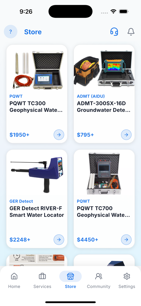
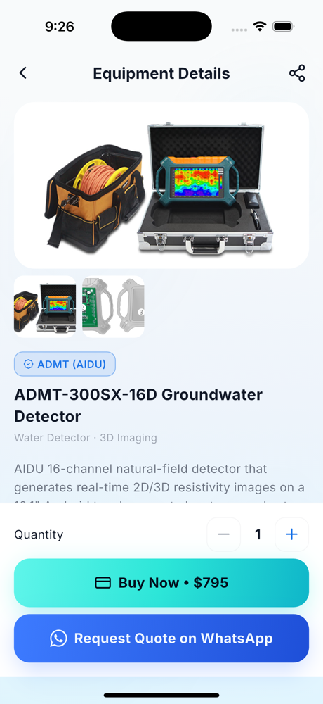
Browse 3D water detectors and geophysical instruments in the app store — entry-level to professional long-range.
Natural-field 3D mapping for shallow to deep survey.
Resistivity water detectors with auto mapping.
Geo-electric & long-range systems.
LPS-1200, Genomix & more for deep survey.
From a single farm to a factory campus — JalDrishti scales to your project, anywhere on Earth.
Find reliable irrigation water and avoid costly dry borewells.
Check water availability before you buy or break ground.
Secure a dependable process-water source for your site.
Pre-select the best points and win more successful bores.
JalDrishti is not a regional tool. It reads global satellite, terrain and geology datasets, so you can scan any coordinate on any continent — and it costs nothing, anywhere.
India, Pakistan, Bangladesh, Nepal, Sri Lanka, China, Indonesia, Vietnam, Thailand, Philippines, Malaysia, Japan, Korea, Kazakhstan and across the Middle East — Saudi Arabia, UAE, Oman, Jordan, Iraq, Iran.
Kenya, Nigeria, Ethiopia, Tanzania, Uganda, Ghana, South Africa, Zambia, Zimbabwe, Morocco, Egypt, Sudan, Mali, Niger, Senegal and the wider Sahel.
United States, Canada and Mexico — from the High Plains and Ogallala aquifer to fractured bedrock in the east and arid basins in the southwest.
Brazil, Argentina, Chile, Peru, Colombia, Bolivia, Ecuador, Paraguay and Uruguay — including the Guarani Aquifer System and Andean valleys.
United Kingdom, Ireland, France, Germany, Spain, Italy, Portugal, Poland, Netherlands, Greece, Romania, the Nordics and the Balkans — chalk, limestone, karst and crystalline terrain.
Australia and New Zealand, plus Pacific island nations — Great Artesian Basin, coastal sand aquifers and volcanic island groundwater.
Antarctica included for completeness — all seven continents are supported by the same global datasets. Wherever there is land, you can drop a pin and get a groundwater report.
Groundwater is found by combining evidence, not by one magic reading. JalDrishti runs the modern remote-sensing methods a hydrogeologist would use, on every scan.
NDVI and NDWI moisture indices reveal vegetation vigour and surface wetness — long-running indicators of shallow water and recharge.
Digital elevation models expose valleys, slope and depressions where water collects and infiltrates instead of running off.
Stream networks and flow accumulation show where a catchment concentrates water underground.
Rock type decides whether water sits in pores or fractures — alluvium, basalt, granite, limestone and sandstone behave very differently.
In hard-rock terrain, yield lives in fractures. Lineament intersections are the highest-probability drilling targets.
A model weighs every layer into one probability score, an estimated depth band, a water-quality indication and an optimised drill point.
Every method has a place. Here is an honest comparison so you know what you are getting.
No accepted scientific basis and no repeatability under controlled tests. Still widely used, and still the most common cause of a dry borewell.
Genuinely accurate and the right final step before expensive drilling — but it needs equipment, a crew, a site visit and a fee per point.
Instant, free and repeatable for any coordinate on Earth. Best used to shortlist points, then confirm high-value drilling with a survey.
We will always tell you when a survey is worth it. A scan narrows the search; it does not replace ground truth on a costly bore.
Groundwater information should not be a luxury. A dry borewell can cost a smallholder a year of income, so the part that prevents it is free for everybody on the planet.
Scan as many plots as you like. No credits, no daily cap, no paywall after the first report.
Probability score, depth band, water quality, drill point, maps and a shareable PDF — all included.
No card required, ever, to use the core app. The only optional cost is a certified geologist review if you want one.
Interface and voice guidance, so literacy or language never blocks access to water data.
People across continents use JalDrishti to make confident, data-backed drilling decisions.
"I checked three plots before buying. The one JalDrishti scored highest gave water at exactly the depth it estimated. Saved me from a dry borewell."
"We pre-screened sites for a housing project. It flagged the low-yield zones instantly, so our survey team focused only on the good points."
"Voice guidance in my language made it easy for my father to use on his own farm. The report and drill point were spot on."
"As a driller, I use it to shortlist points before mobilising the rig. My success rate is noticeably higher and clients trust the report."
"Our factory needed a reliable process-water source. The scan plus an expert review gave us the confidence to drill in the right spot."
"Free, fast and genuinely useful. The depth estimate matched our bore almost exactly. Recommending it to every farmer in our village."
Stories reflect typical user experiences. Groundwater estimates are indicative — confirm high-value drilling with an on-site survey.
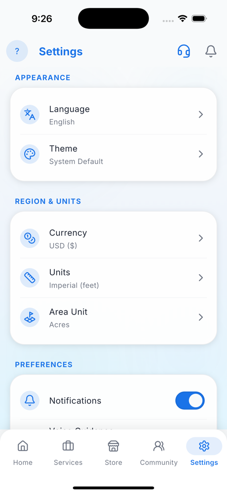
Full app & voice guidance in 33 languages — so anyone, anywhere can find water.
Free, practical guides on finding water and drilling smart.
The signs, data and modern methods that show where water is.
Terrain, geology and vegetation clues to a high-yield point.
What to look for, and how to check any site for free.
What controls depth and how to estimate it before you drill.
How imagery, terrain and geology locate groundwater.
When a free scan is enough and when a review pays off.
Free in every country, on all seven continents.
Dowsing, resistivity, seismic and satellite AI — what works.
The data layers, the model, and where the uncertainty is.
No equipment, no site visit, no fee — anywhere on Earth.
Download JalDrishti free and get an AI groundwater report for any location on Earth — in under a minute.