


Groundwater and borewell guides
Practical advice on finding water before you drill: site selection, depth, cost, detection methods, and what works in your part of the world.
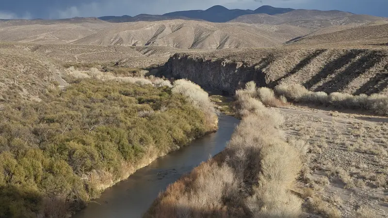
How to Find Groundwater Before Drilling a Borewell
Learn how to find groundwater before drilling a borewell: natural surface signs, geology and terrain clues, satellite data and AI, and when to confirm with a geophysical survey. Free guide.
Read the guide
Free Water Detector App
A genuinely free water detector app that finds groundwater using satellite data, geology and AI — no equipment, no subscription.
Read the guide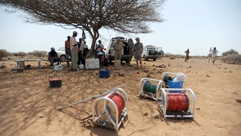
Best Groundwater Detector App in 2026
How to choose the best groundwater detector app: real satellite + geology data, depth and yield estimates, offline use, 33 languages, and an optional expert review.
Read the guide
Groundwater Detection in India
Find groundwater and the best borewell point anywhere in India with a free AI app using satellite and geology data.
Read the guide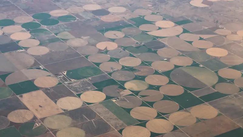
Groundwater Detection in the USA
Locate groundwater and the best water-well drilling spot anywhere in the USA with a free AI app using satellite and geology data.
Read the guide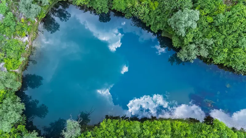
Groundwater Detection in Europe
Find groundwater and the best borehole location across Europe with a free AI app using satellite and geology data.
Read the guide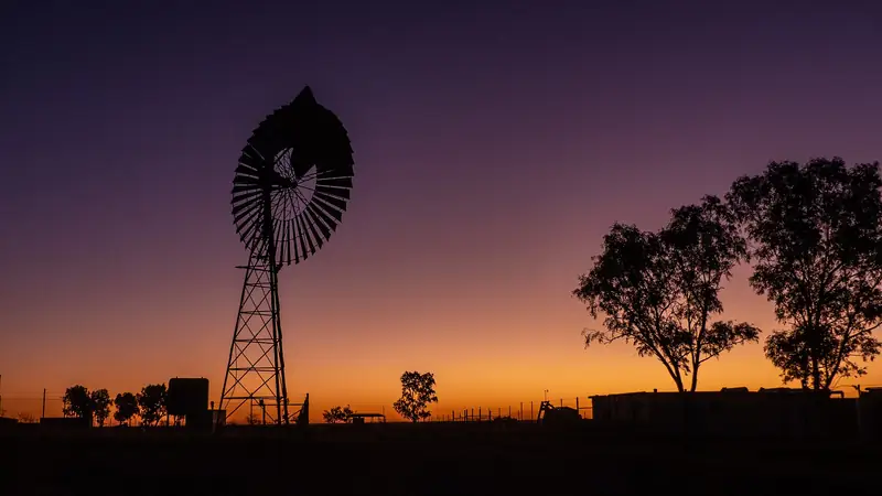
Groundwater Detection in Australia
Find groundwater and the best bore location across Australia with a free AI app using satellite and geology data — from the Great Artesian Basin to fractured-rock country.
Read the guide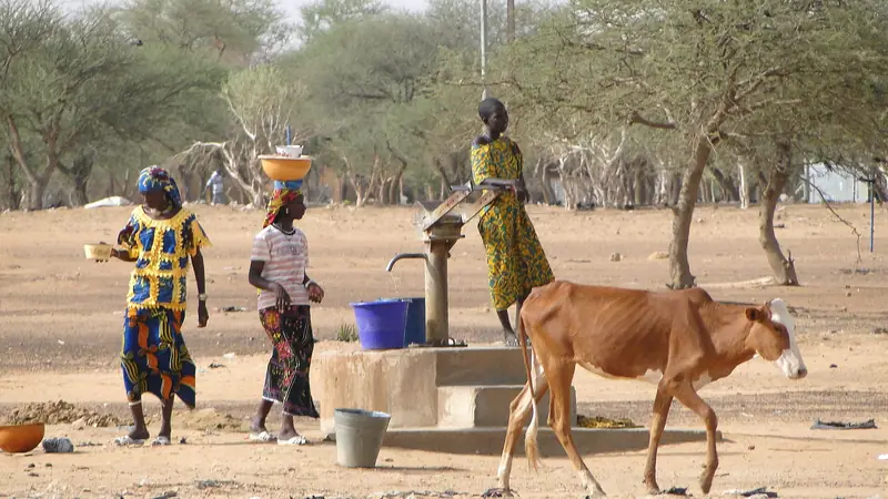
Groundwater Detection in Africa
Find groundwater and the best borehole location across Africa with a free AI app using satellite and geology data — for farms, communities and NGOs, in Swahili and 32 more languages.
Read the guide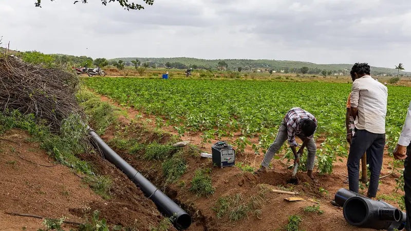
Water Detector App for Farmers
A free water detector app built for farmers: find groundwater for irrigation, pick the best borewell point, estimate depth and yield, and get voice guidance in 33 languages.
Read the guide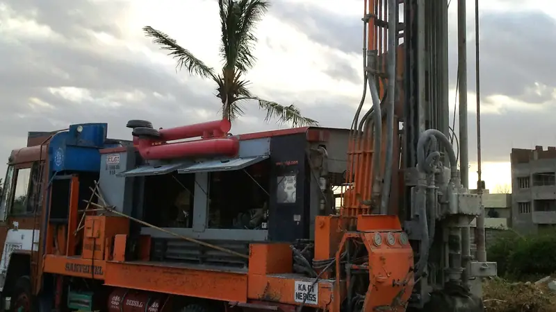
Borewell Point Detection App
Detect the best borewell point with a free AI app using satellite imagery, terrain and geology.
Read the guide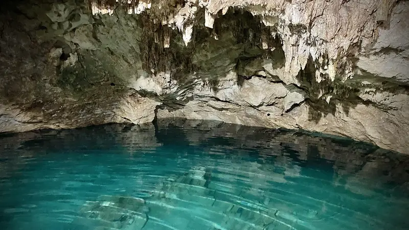
Underground Water Detection App
Detect underground water for free with an AI app using satellite and geology data — no detector device needed.
Read the guide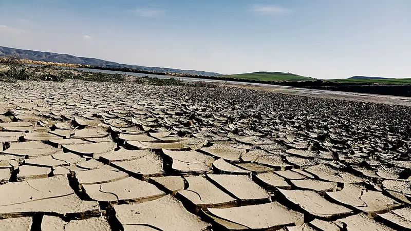
Why Borewells Go Dry
The real reasons borewells fail — poor point selection, wrong depth, over-extraction and seasonal drops — and how a data-driven scan plus a survey prevents an expensive dry hole.
Read the guide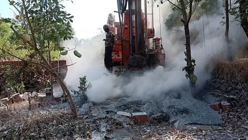
Borewell Drilling Cost Guide
What drives borewell drilling cost — depth, diameter, geology, casing and the pump — and how estimating depth first with a free scan helps you budget accurately and avoid surprises.
Read the guide
Groundwater Detection Worldwide
Find groundwater anywhere on Earth with a free app.
Read the guide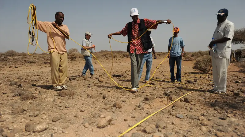
Groundwater Detection Methods Compared
Dowsing, resistivity, seismic, satellite remote sensing and AI compared for accuracy, cost and speed.
Read the guide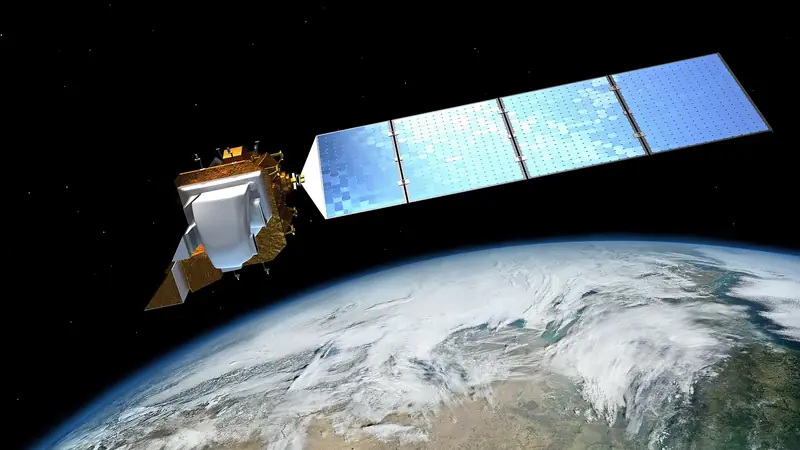
The Technology Behind AI Groundwater Detection
How satellite bands, NDVI and NDWI indices, digital elevation models, drainage analysis, lithology and lineament mapping combine with AI to estimate groundwater probability and depth.
Read the guide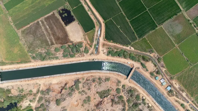
Free Groundwater Survey Online
Get a free groundwater survey for any location worldwide: probability score, depth estimate, water quality indication and a recommended drill point.
Read the guide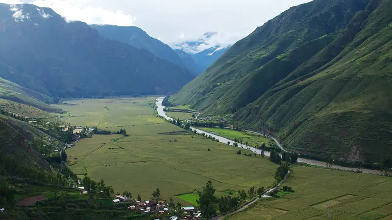
Groundwater Detection in South America
Find groundwater and the best well location across Brazil, Argentina, Chile, Peru, Colombia and the rest of South America with a free AI app using satellite and geology data.
Read the guide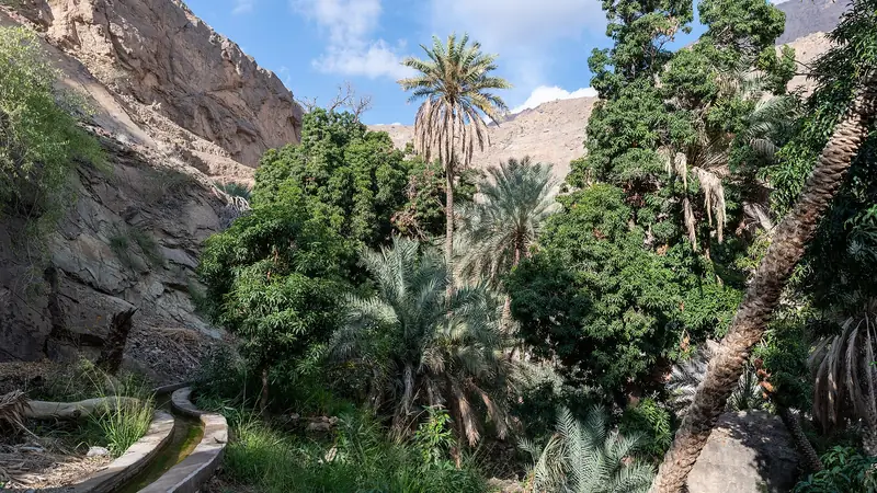
Groundwater Detection in the Middle East
Locate groundwater across Saudi Arabia, the UAE, Oman, Jordan, Iraq and Iran with a free AI app using satellite and geology data.
Read the guide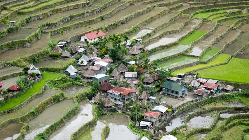
Groundwater Detection in Southeast Asia
Find groundwater across Indonesia, Vietnam, Thailand, the Philippines, Malaysia and neighbours with a free AI app using satellite and geology data, in local languages.
Read the guide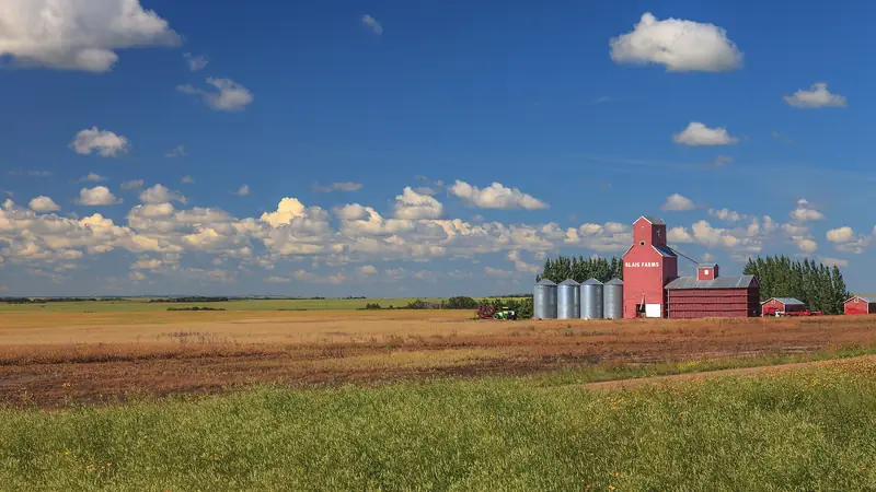
Groundwater Detection in Canada
Locate groundwater and the best water-well location anywhere in Canada with a free AI app using satellite and geology data.
Read the guide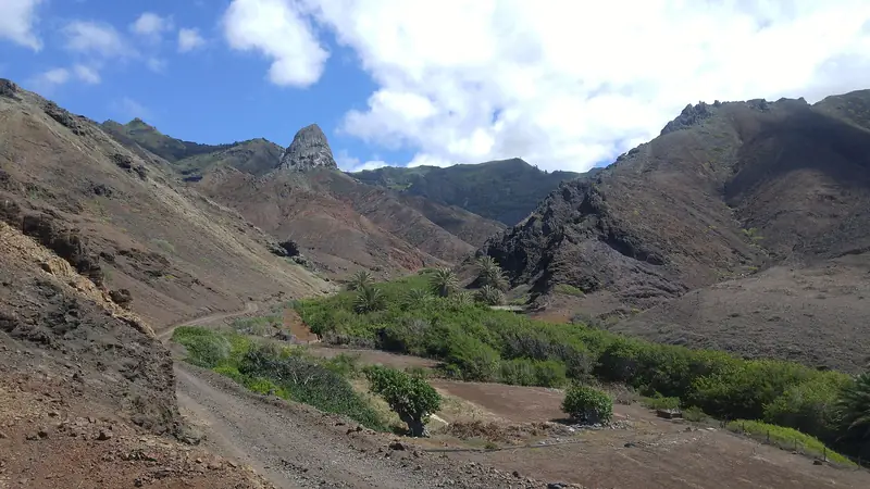
Borewell Site Selection: A Complete Guide
Terrain, geology and vegetation clues to a high-yield point.
Read the guide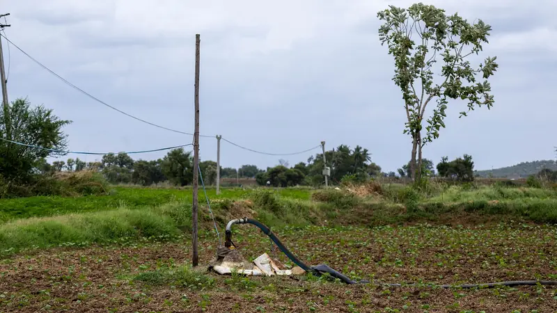
Best Free Groundwater Detection App in 2026
What to look for, and how to check any site for free.
Read the guide
How Deep Should You Drill a Borewell?
What controls depth and how to estimate it before you drill.
Read the guide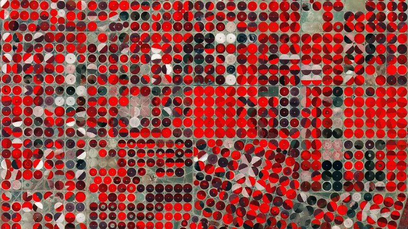
Finding Water with Satellite Data & AI
How imagery, terrain and geology locate groundwater.
Read the guide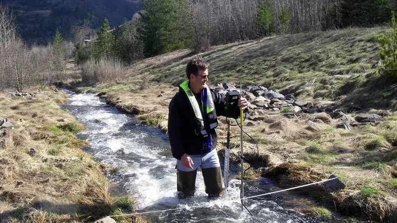
When to Talk to a Groundwater Expert
When a free scan is enough and when a review pays off.
Read the guideCover photo: Photo: Tlrmedia, CC BY-SA 4.0, via Wikimedia Commons. All photo credits: image credits.
