
A genuinely free water detector app that finds groundwater using satellite data, geology and AI — no equipment, no subscription. Works worldwide in 33 languages on Android & iOS.
What a free water detector app actually does
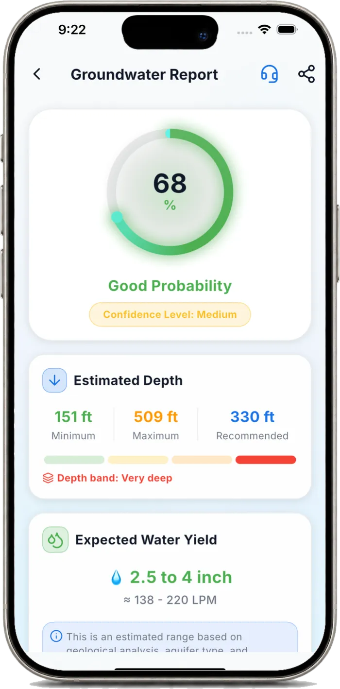
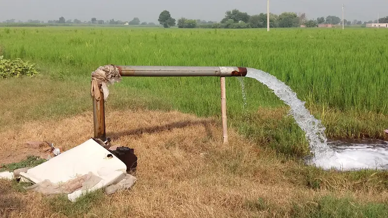
It analyses multi-spectral satellite imagery (NDVI/NDWI moisture indices), terrain elevation, drainage and regional geology with an AI model to estimate the probability of groundwater at a point, its likely depth and a recommended drilling spot.
JalDrishti is free worldwide: unlimited groundwater scans, reports, maps and a bore calculator, with voice guidance in 33 languages. You only ever pay if you choose an optional certified-geologist review.
Free vs "free trial"
Many apps lock the useful parts behind a paywall. The scan, report, maps and bore calculator should be free — the only thing worth paying for is optional human expertise (a certified geologist reviewing your specific site).
How to use it in under a minute
- Drop a pin on your farm, plot or project site (or use GPS).
- Tap scan — the AI reads satellite + geology data on the spot.
- Read the probability score, depth range and drill point.
- Download or share the PDF report.
Beware phone-sensor "detectors"
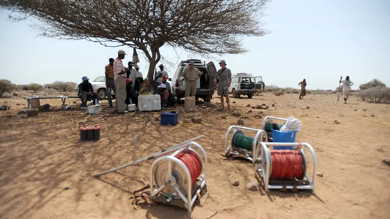
No phone magnetometer or camera can sense underground water — the physics does not allow it. Trust tools that use real geospatial data and are transparent about uncertainty.